Western disturbance triggers weather shift across Nepal
Weather conditions in the Himalayan region are also forecast to remain unsettled.
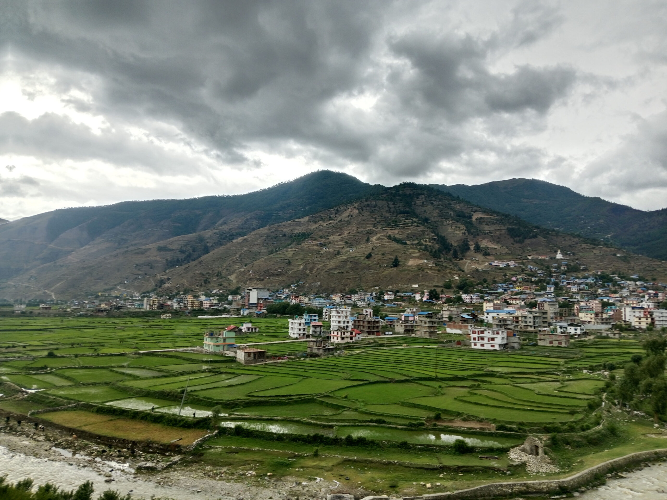
KATHMANDU: A renewed activation of the western low-pressure system over Nepal’s western region has led to a noticeable change in weather conditions across the country.
Under its influence, light, scattered rainfall has been recorded in parts of Nepal over the past 24 hours, accompanied by an increase in cold conditions.
According to the Meteorological Forecasting Division of the Department of Hydrology and Meteorology, weather conditions are expected to be particularly affected on Monday, especially in the Terai and Himalayan regions.
As per the latest bulletin, dense fog and mist are likely in several Terai districts during the daytime, which may cause minor disruptions to daily life and transportation.
Weather conditions in the Himalayan region are also forecast to remain unsettled.
Cloudy skies are expected in most high-altitude districts, while the hilly regions will experience partly cloudy conditions.
The Division has indicated the possibility of light snowfall or rainfall at one or two locations in the Himalayan belt.
No significant improvement is expected at night either.
Fog is likely to persist in the Terai, while light snowfall and rainfall are projected in some high Himalayan areas of Gandaki, Karnali, and Sudurpaschim provinces.
With the continued influence of western winds, temperatures may drop further, prompting authorities to urge the public to remain cautious.